Have you ever wondered what it means when you get that "Out of office" notification?
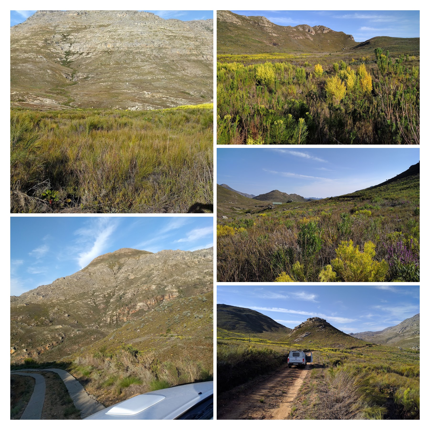
Sometimes it means that I've had a change to get out into the fynbos to do some field work! Today the Hawequas mountains of Limietberg Reserve. A great day out!

A new lab member starts this week in the MeaseyLab: Nitya Mohanty

Nitya studied completed his BSc. (Hons.) in Zoology from University of Delhi (2008-11) and his MSc in Wildlife Science from the Wildlife Institute of India (2011-13), where he studied the impact of invasive spotted deer on understory reptiles in the Andaman archipelago.
Nitya will be headed back the the Andaman's for his PhD dissertation on the invasive Indian Bullfrog Hoplobatrachus tigerinus.
Read more about Nitya on the CIB site here or see his page on this site here.
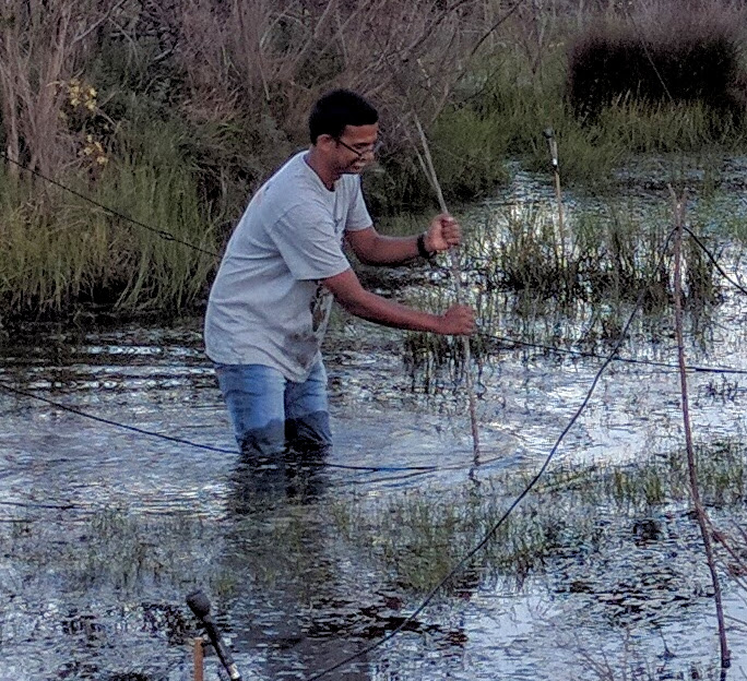
Thanks to Supen Wang and my friends in Prof Yi ming Li's lab at the Chinese Academy of Sciences, I joined a frog monitoring trip on the great plains of eastern China
It was great fun whizzing around on the dirt roads on these electric scooters!
Integrated Nested Laplace Approximation (INLA) All data are collected in both space and time, however the focus for this workshop was on the analysis of data where: 1) the sampling location is known and pertinent---in order to describe and study the spatial structure, and/or, to account for the spatial auto-correlation---2) progression through time is of potential interest. Integrated Nested Laplace Approximation (INLA) is a relatively new Bayesian statistical inference method, designed for use with, but not solely restricted to the analysis of: longitudinal data, time series data, spatial and spatiotemporal geo-statistical data. One such application of the methodology considers long-term geo-statistical garden bird data, simultaneously modelling each of three species of birds---a predator, the prey and a sympatric species---and estimating the spatial correlation between and amongst each species over time.

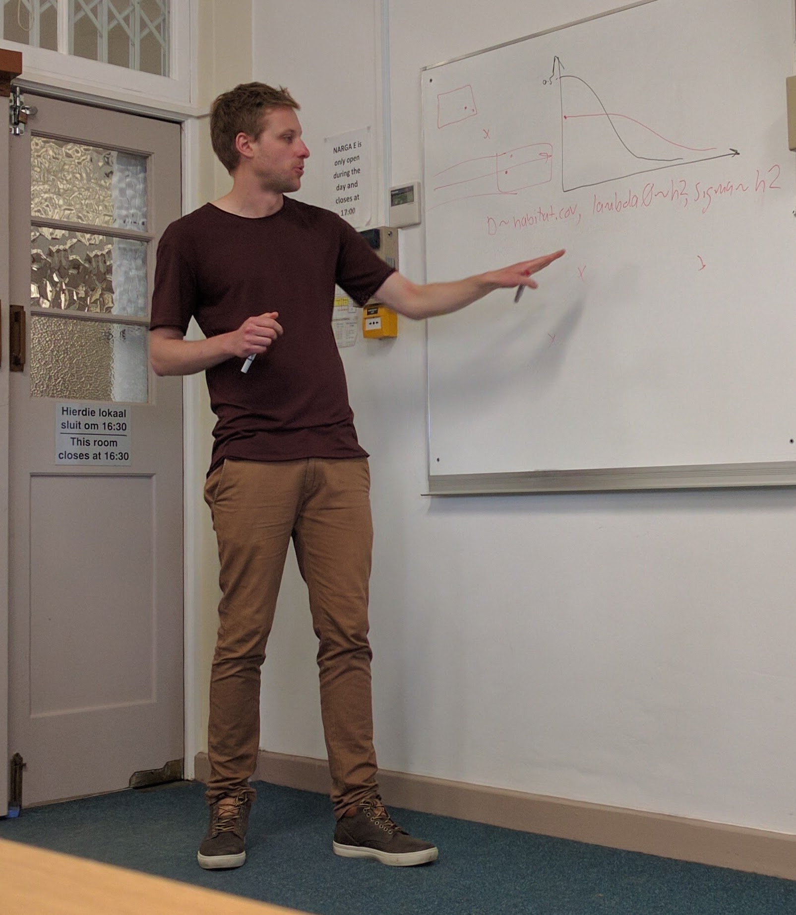
Dr. Ben explains how individuals may require different capture probabilities for SECR models.
Spatial Capture Recapture (SCR) Wildlife surveys that aim to estimate animal abundance or density are typically spatial in nature: individuals are detected at various locations across a survey area. While traditional capture-recapture (CR) methods are often used to estimate animal abundance, they ignore this spatial component of the data that are collected. The development of spatial capture-recapture (SCR) methods has been one of the most notable advancements in ecological statistics over the last decade; these generalise traditional CR methods by using information about where individuals were detected. SCR provides researchers with a powerful means of estimating not only animal abundance, but also animal density, species distribution, animal movement, and changes in these over time. SCR methods can be applied to various kinds of detection data, including detection by physical trapping (single- or multi-catch traps), by some remote device (e.g., camera traps or microphones), and by some other evidence of presence (e.g., hair snares or dung surveys).

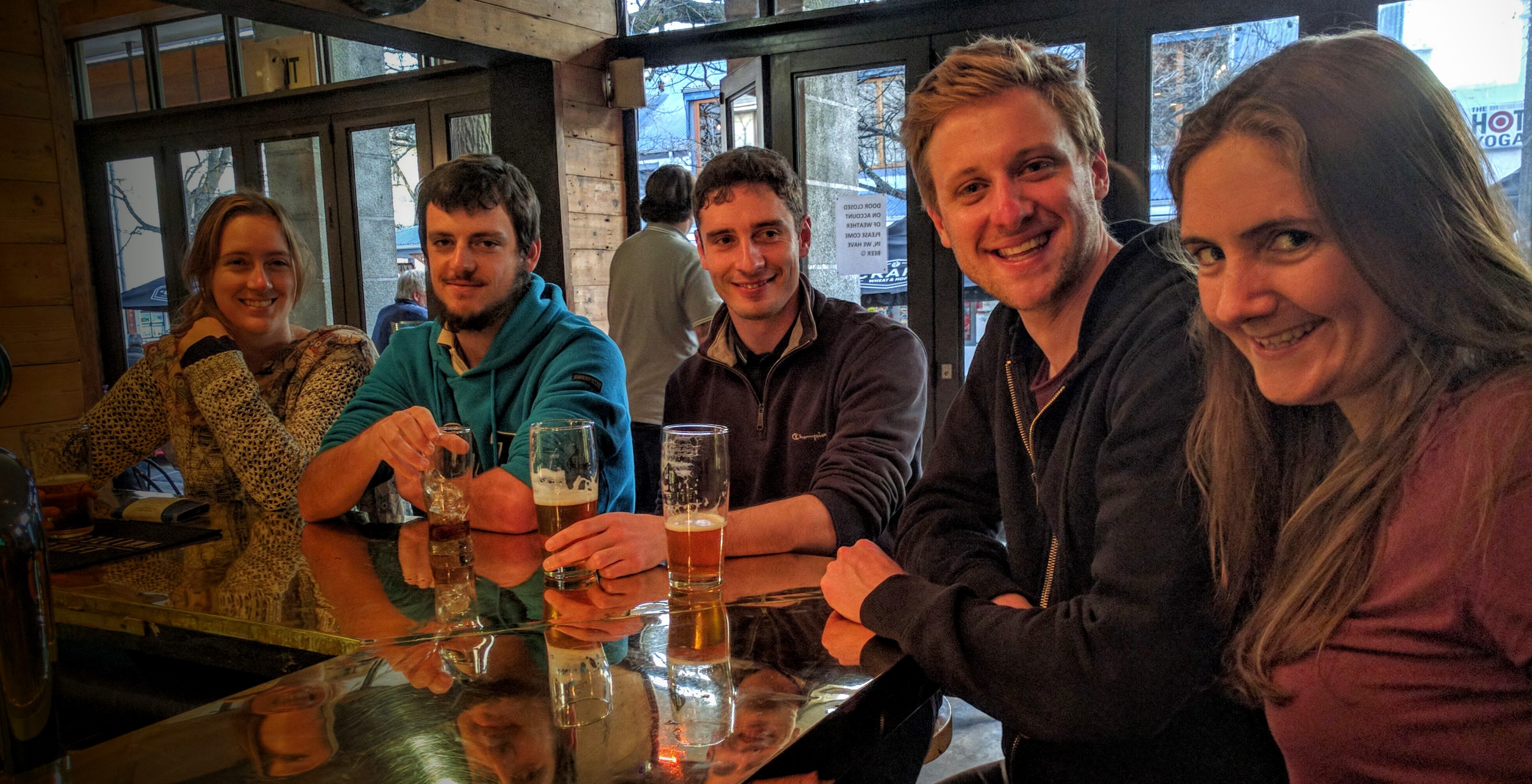
Right to Left: Charlotte & Ben relax after the course with MeaseyLab members Giovanni, Alex & Marike.